Forestry Mapping and Planning Support
Practical drone data for forestry operations in steep, remote, and forested terrain across British Columbia
Our Forestry Background
Our forestry experience runs deep. I started in silviculture working for my father's company, and over 15 years I logged, ran heavy equipment, and worked across BC's most challenging terrain. That hands-on experience shapes how we approach forestry data collection and delivery.
We understand how forestry planning actually works in the field. We know what cutblock planners need, how access decisions get made, and what data foresters can actually use. That's why our drone work focuses on practical deliverables, not flashy imagery.
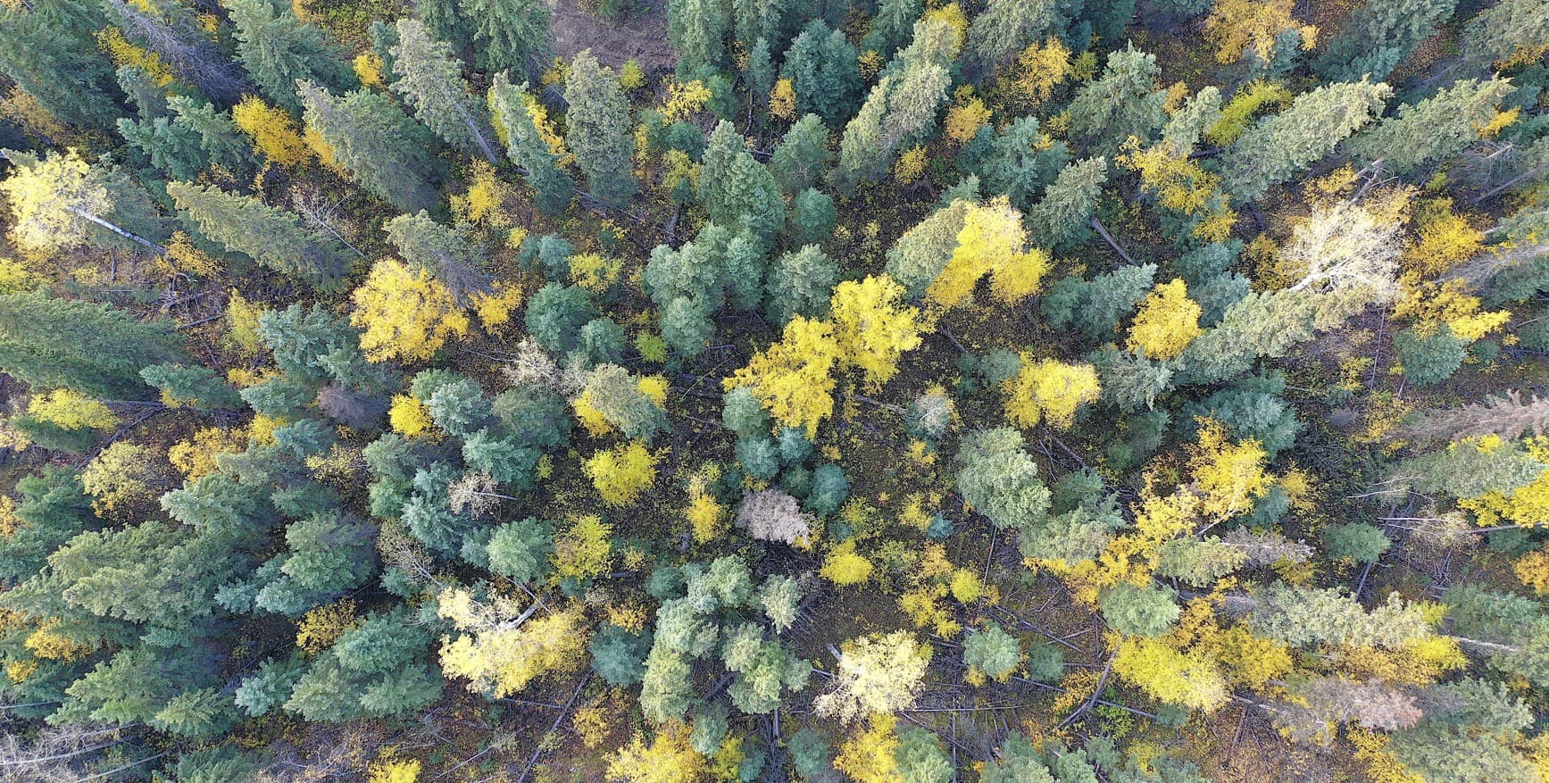
Real Forestry Projects
We completed a large government wildlife and habitat mapping project covering approximately 4,200 hectares. High resolution orthomosaics and terrain models supported land management planning and field verification work.
We've supported forestry planning with orthomosaics and terrain models used directly by block layout and access decision teams. We also deliver consistent long-corridor mapping for remote areas where terrain access is difficult.
That's the work we do best, real data for real decisions.
Common Deliverables for Forestry
We build forestry datasets to be useful in the field and in planning software. Whether it's cutblock planning, access layout, or documentation, we deliver outputs your team can actually use.
High resolution orthomosaics for detailed block planning
Terrain models (DTM and DSM) for slope and access analysis
Contours for road and access planning
GIS ready mapping files in standard formats
Field friendly maps for Avenza and mobile field tools
How We Work in Forestry
Terrain aware flight planning, consistent workflows, and outputs designed for actual decision making.
Flight Strategy
- Terrain aware flight paths
- Repeatable workflows for consistency
- Adapted for steep and remote access
- All season capability
Deliverables Format
- GeoTIFF orthomosaics
- DXF for CAD
- SHP for GIS
- Mobile map packages
Outputs designed for real decision making, whether you're at the desk or on the block.